Geopark Famenne-Ardenne
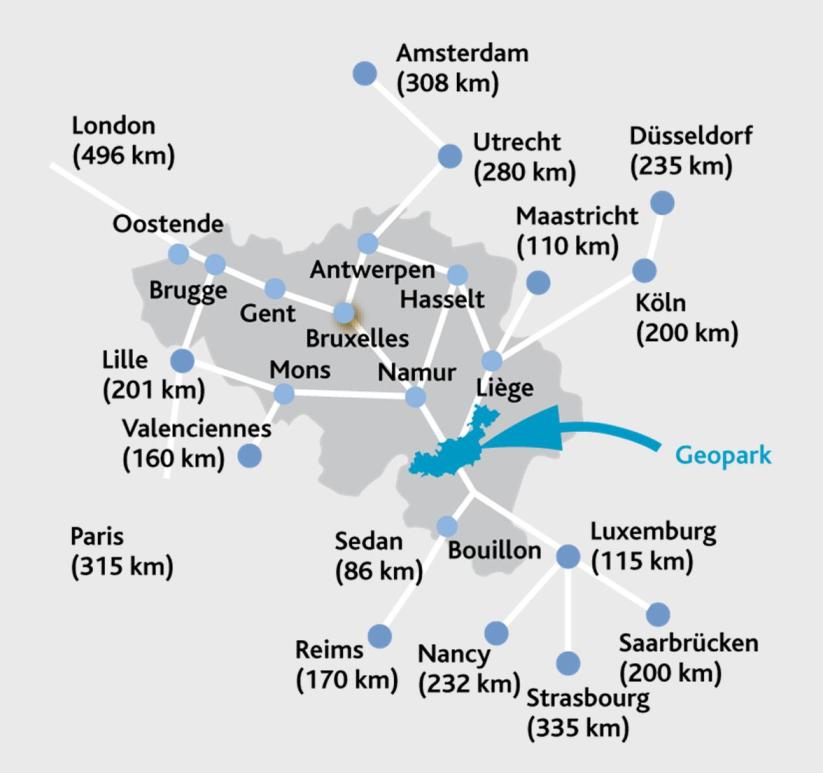
The Famenne-Ardenne UNESCO Global Geopark, with a surface area of 915km² and a population of 67.288, associates the councils of Beauraing, Durbuy, Hotton, Marche-en-Famenne, Nassogne, Rochefort, Tellin and Wellin.
Our Geopark is mainly located in the “Calestienne” area, a typical strip of limestone, which is the unifying thread of our Geopark, which also comprises three distinct River basins: the Lesse, the Lomme and the Ourthe.
The area offers a unique geological potential, and boasts the largest number of karstic phenomena in Belgium as well as Europe. These phenomena are of great interest and are highlighted in different fields: heritage protection, tourism, and scientific research. During the Mesozoic and the Cenozoic era, the limestone rocks will be deeply altered by the warm and humid climate. Later, the Ardennes bedrock was uplifted, causing the rivers to cut deeper into their channels. Caves were formed, favouring the formation of underground meander cut-offs as well as "swallow-hole/resurgence" systems. Some of these rivers follow an underground course that can exceed 10km.
Caves and cliffs, unique underground rivers, sites of great scientific interest, rocks and sediments bearing the traces of distinctive paleoclimates and paleoenvironments, landscapes, a high level of biodiversity, and our built heritage are the direct result of both our environment and distinctive soil type.


